The Story
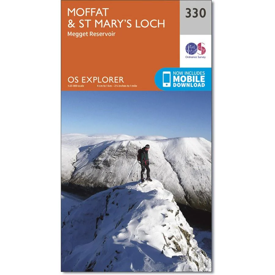
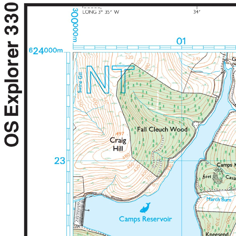
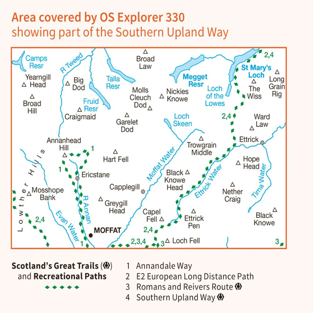
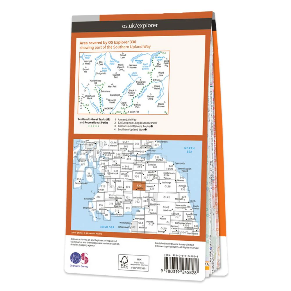
Ordnance Survey Explorer Map 330 Moffat & St Mary's Loch
Megget Reservoir
Covering Moffat in Dumfries and Galloway, Scotland, OS Explorer map 330 also shows St Mary's Loch, Megget Reservoir and part of the Southern Upland Way Long Distance Route
The OS Explorer map for Moffat & St Mary’s Loch is available in both the standard paper version and weatherproof 'Active' version
Details & Craftsmanship
Every detail has been carefully considered to bring you the perfect product.
Details & Craftsmanship
Every detail has been carefully considered to bring you the perfect product.
Details & Craftsmanship
Every detail has been carefully considered to bring you the perfect product.
Details & Craftsmanship
Every detail has been carefully considered to bring you the perfect product.
Details & Craftsmanship
Every detail has been carefully considered to bring you the perfect product.
Description
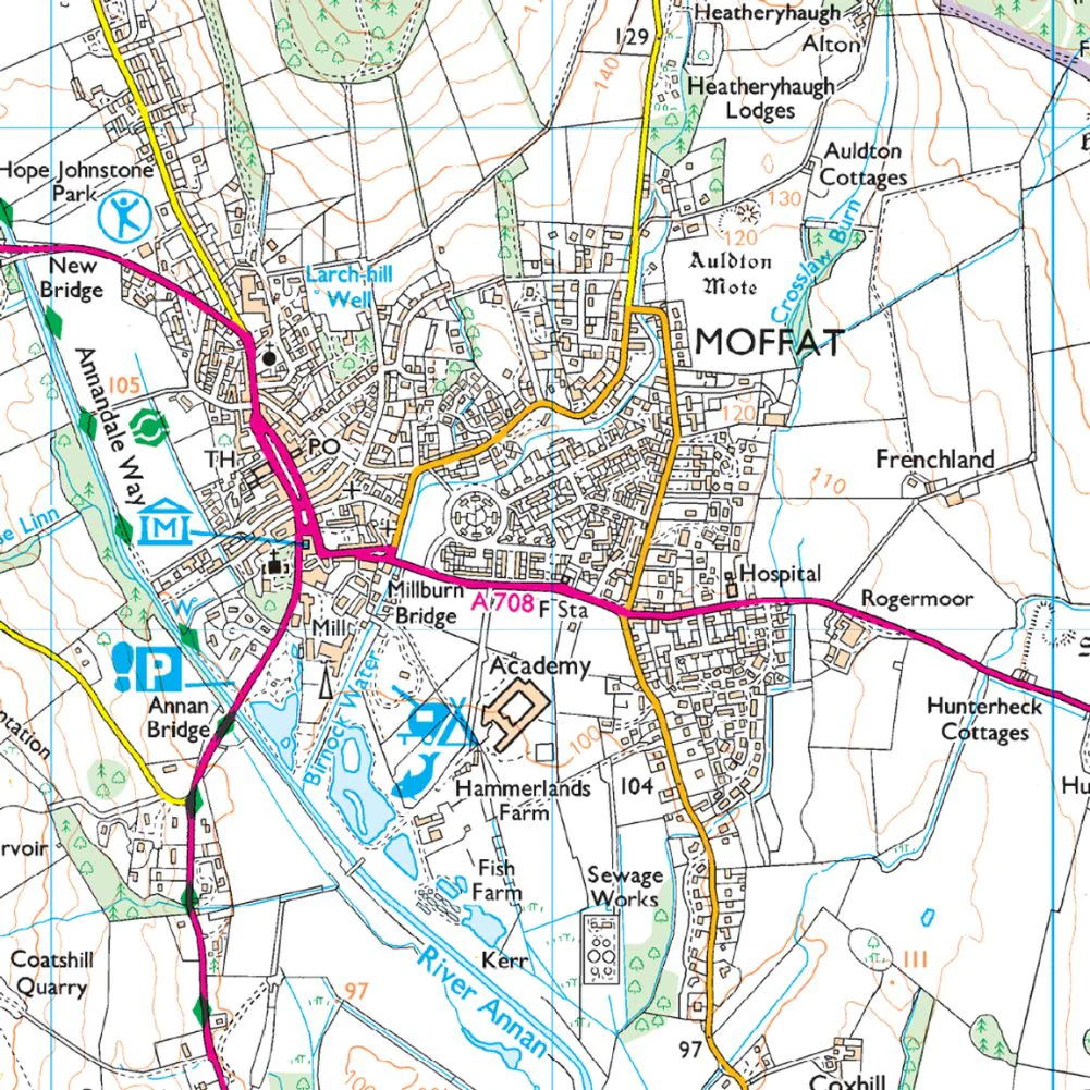
Ordnance Survey Explorer Map 330 Moffat & St Mary's Loch
Megget Reservoir
Covering Moffat in Dumfries and Galloway, Scotland, OS Explorer map 330 also shows St Mary's Loch, Megget Reservoir and part of the Southern Upland Way Long Distance Route
The OS Explorer map for Moffat & St Mary’s Loch is available in both the standard paper version and weatherproof 'Active' version