✨ New Arrivals Just Dropped!Explore
$3.98
Original: $13.27
-70%Ordnance Survey Explorer Map 356 Kintyre South—
$13.27
$3.98The Story
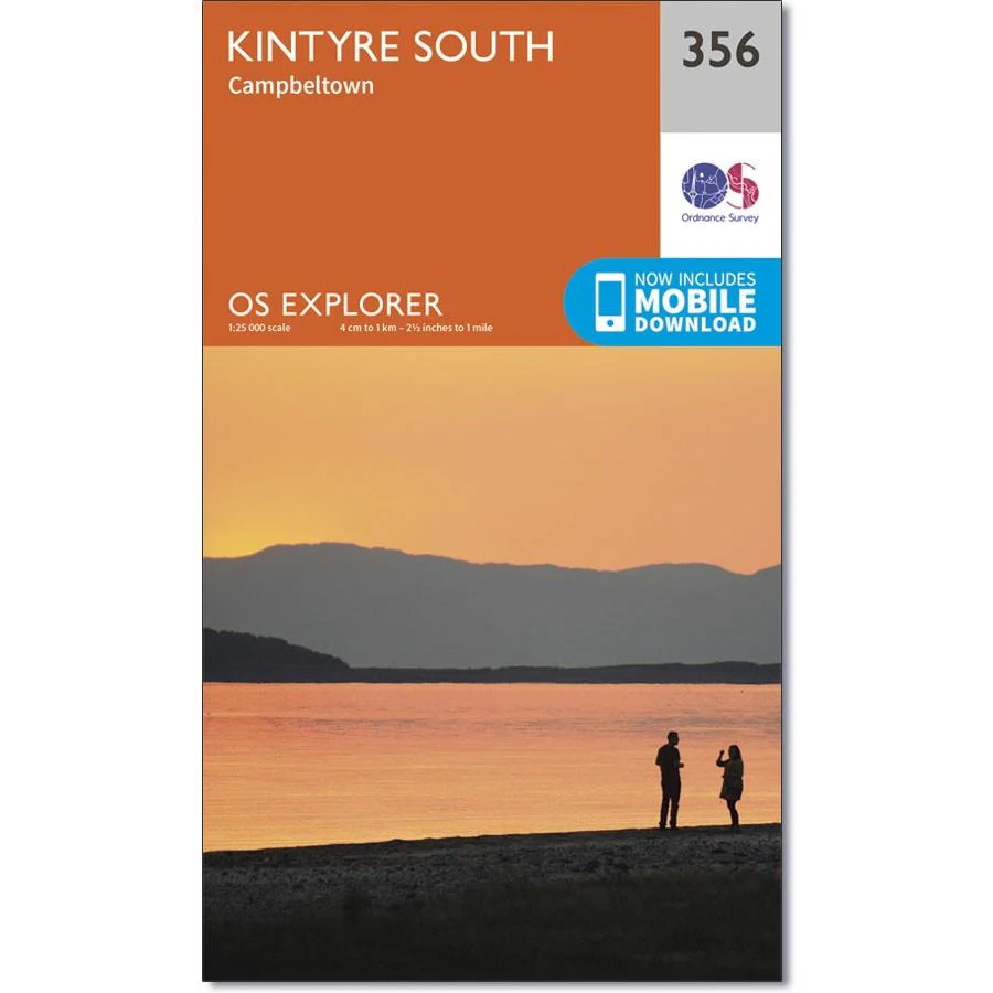
Ordnance Survey Explorer Map 356 Kintyre South
Map sheet number 356 covers Kintyre South and Campbeltown. Highlights include Sanda Island, Mull of Kintyre, Lussa Loch and Beinn Ghuilean. Also includes Carradale, Bridgend, Peninver and the Kintyre Way.
With this map you will receive a code for use on your iOS or Android smartphone or tablet.
Description
Ordnance Survey Explorer Map 356 Kintyre South
Map sheet number 356 covers Kintyre South and Campbeltown. Highlights include Sanda Island, Mull of Kintyre, Lussa Loch and Beinn Ghuilean. Also includes Carradale, Bridgend, Peninver and the Kintyre Way.
With this map you will receive a code for use on your iOS or Android smartphone or tablet.