The Story
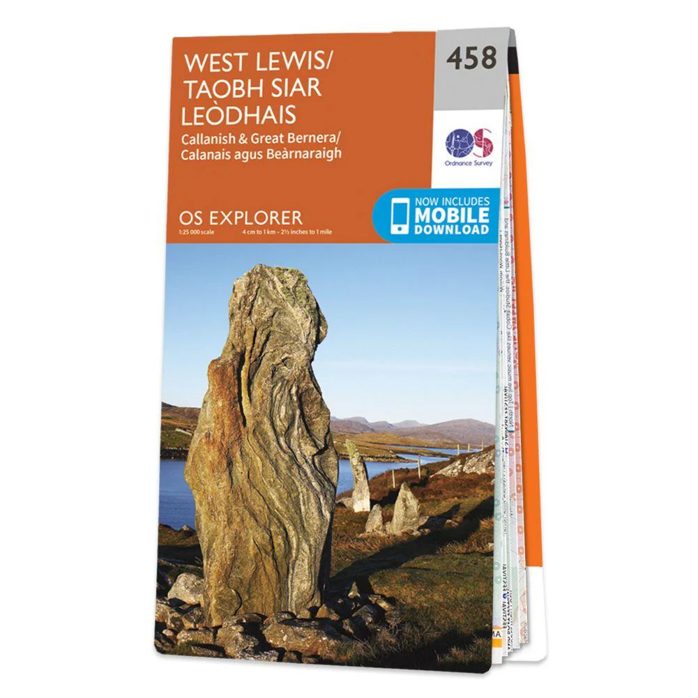
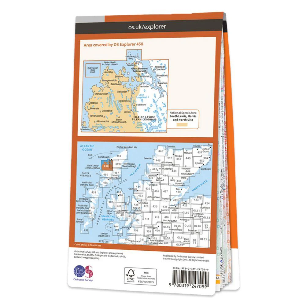
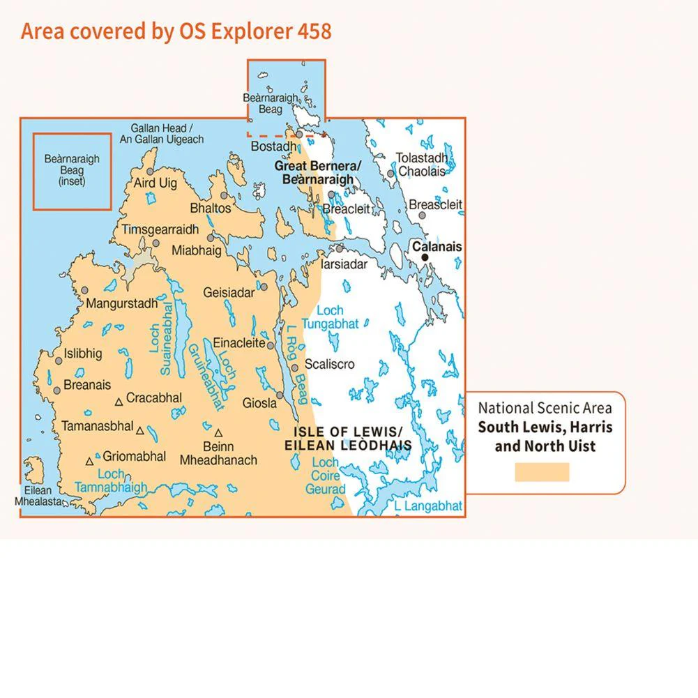
Ordnance Survey Explorer Map 458 West Lewis
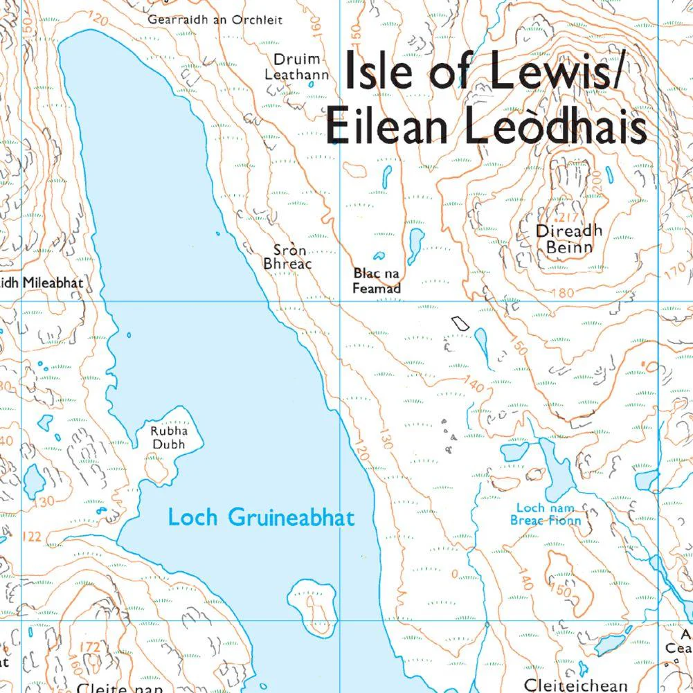
Map sheet number 458 in the OS Explorer map series is ideal for discovering the western part of the Isle of Lewis. Lewis and Harris, the largest island in the Outer Hebrides has many Loch's to explore and a more rugged coastline than the east of the island. Other highlights of the area include Great Bernera and Calanais.
With this map you will receive a code for use on your iOS or Android smartphone or tablet.
Details & Craftsmanship
Every detail has been carefully considered to bring you the perfect product.
Details & Craftsmanship
Every detail has been carefully considered to bring you the perfect product.
Details & Craftsmanship
Every detail has been carefully considered to bring you the perfect product.
Description
Ordnance Survey Explorer Map 458 West Lewis
Map sheet number 458 in the OS Explorer map series is ideal for discovering the western part of the Isle of Lewis. Lewis and Harris, the largest island in the Outer Hebrides has many Loch's to explore and a more rugged coastline than the east of the island. Other highlights of the area include Great Bernera and Calanais.
With this map you will receive a code for use on your iOS or Android smartphone or tablet.