The Story
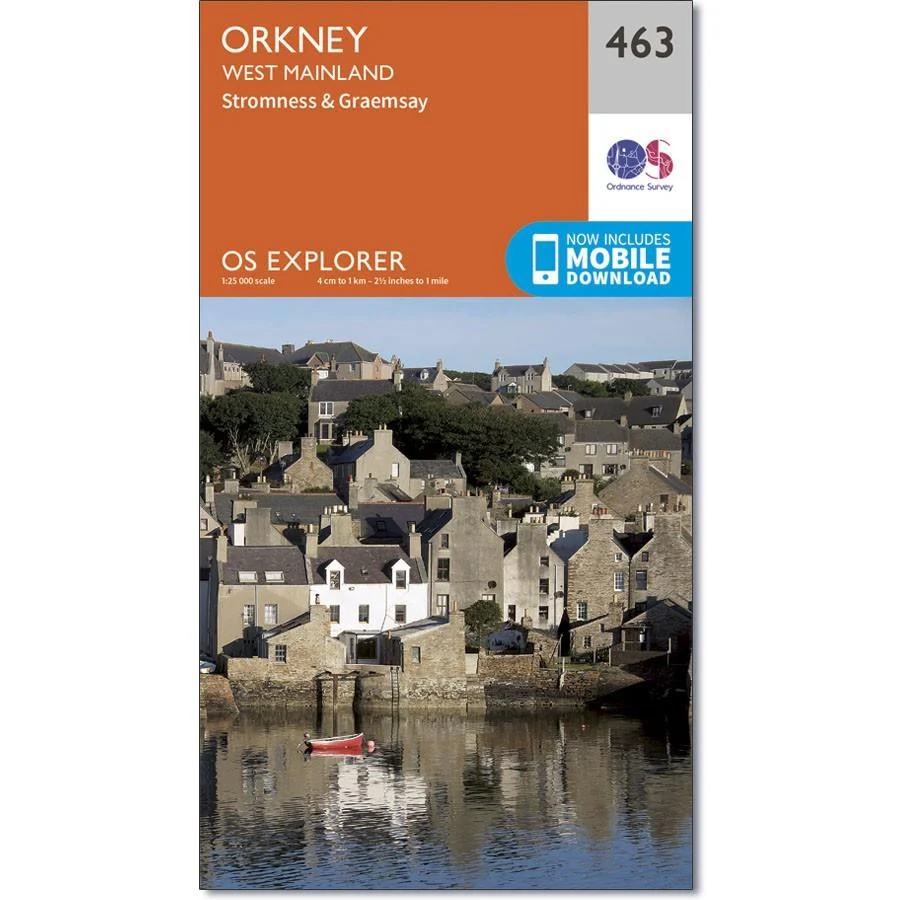
Ordnance Survey Explorer Map 463 Orkney - West Mainland
Map sheet number 463 covers Stromness and Orkney West Mainland. Highlights include the Bay of Skaill and the Lochs of Harray, Kirbister and Swanney. Also includes Swanbister, Graemsay and Beaquoy.
The Orkney Islands are well known for their archaeological interest, with finds and ruins from the Neolithic to 18th Century. Scapa Flow, the waters south of Orkney Mainland, have been used as a shelter for ships since the Vikings, although it was closed as a Royal Navy base shortly after the end of World War 2.
Description
Ordnance Survey Explorer Map 463 Orkney - West Mainland
Map sheet number 463 covers Stromness and Orkney West Mainland. Highlights include the Bay of Skaill and the Lochs of Harray, Kirbister and Swanney. Also includes Swanbister, Graemsay and Beaquoy.
The Orkney Islands are well known for their archaeological interest, with finds and ruins from the Neolithic to 18th Century. Scapa Flow, the waters south of Orkney Mainland, have been used as a shelter for ships since the Vikings, although it was closed as a Royal Navy base shortly after the end of World War 2.