✨ New Arrivals Just Dropped!Explore
$13.27
Ordnance Survey Landranger Map 65 Falkirk & Linlithgow—
$13.27
The Story
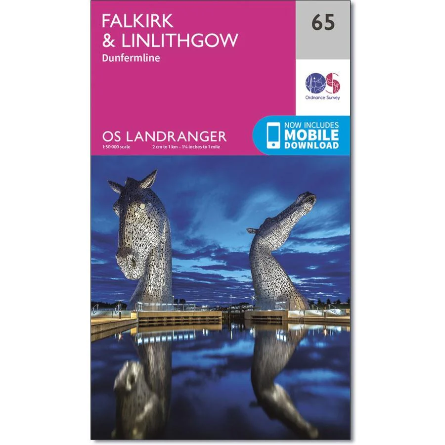
Ordnance Survey Landranger Map 65 Falkirk & Linlithgow
OS Landranger map 65 of Falkirk & Linlithgow also includes Livingston, Kirknewton, Shotts, Forth, Currie, Westfield, Maddiston, Bo'ness, Queensferry, Grangemouth Armadale and part of the Pentland Hills.
With this map you will receive a code for use on your iOS or Android smartphone or tablet.
Description
Ordnance Survey Landranger Map 65 Falkirk & Linlithgow
OS Landranger map 65 of Falkirk & Linlithgow also includes Livingston, Kirknewton, Shotts, Forth, Currie, Westfield, Maddiston, Bo'ness, Queensferry, Grangemouth Armadale and part of the Pentland Hills.
With this map you will receive a code for use on your iOS or Android smartphone or tablet.