Original: $13.27
-70%$13.27
$3.98The Story
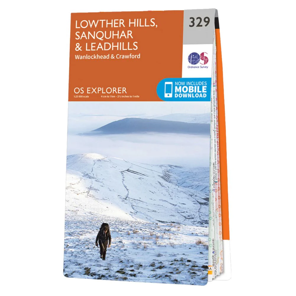
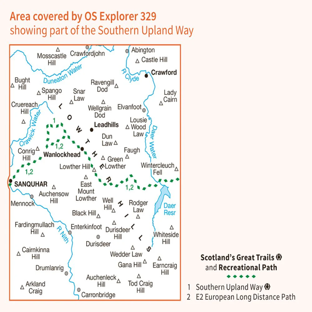
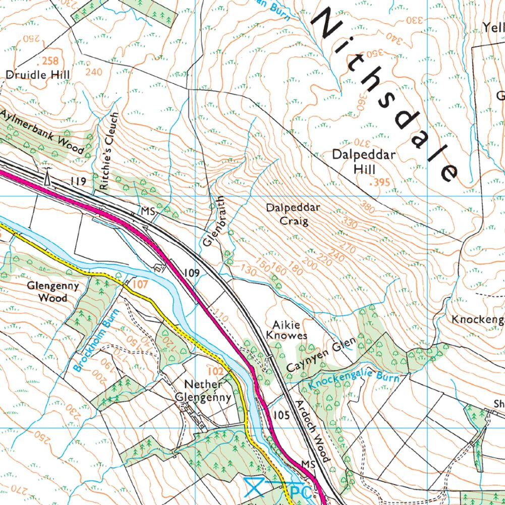
Ordnance Survey Explorer Map Lowther Hills, Sanquhar & Leadhills
Wanlockhead and Crawford
Also shown is the Southern Upland Way, part of the E2 European Long Distance Path. This area also boasts the highest village in Scotland - Wanlockhead lies mainly above 467m.
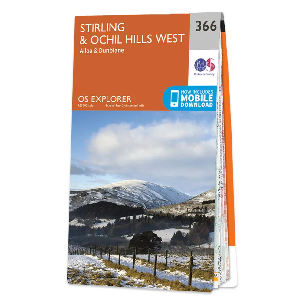
Details & Craftsmanship
Every detail has been carefully considered to bring you the perfect product.
Details & Craftsmanship
Every detail has been carefully considered to bring you the perfect product.
Details & Craftsmanship
Every detail has been carefully considered to bring you the perfect product.
Details & Craftsmanship
Every detail has been carefully considered to bring you the perfect product.
Description
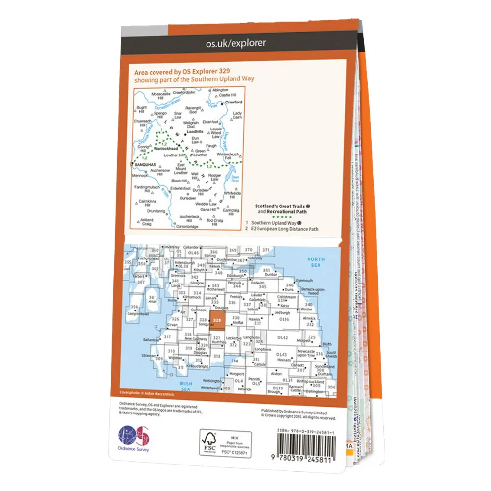
Ordnance Survey Explorer Map Lowther Hills, Sanquhar & Leadhills
Wanlockhead and Crawford
Also shown is the Southern Upland Way, part of the E2 European Long Distance Path. This area also boasts the highest village in Scotland - Wanlockhead lies mainly above 467m.